Salmon Falls Trail Description
Location: 6 miles north of El-Dorado Hills
Technicality Level: Beginner
Effort Level: Beginner to Intermediate - though only because of the trail length
Trail Type: Round Trip
One way full trail length: 9.5 miles each way
Elevation Gain: 500ft
Roland's Best Time to the far side of Death Hill and Back: 8.3 miles, 46 minutes, plus 2 minutes turn around rest.
Roland's Best Time to the Campsite and Back: 19.1 miles, 1h49 minutes, plus 10 minutes rest and the photography you see below.
Description:
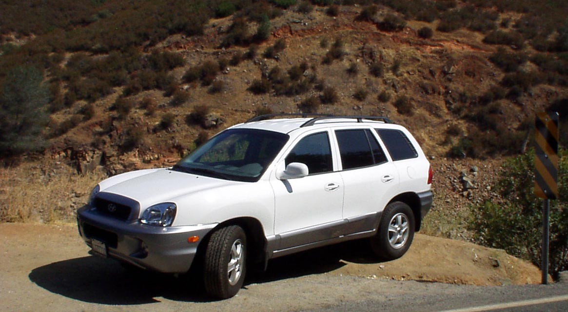
Especially on a Saturday, get there reasonably early, by 10:30am you'll be parking on the edge of the cliff.
|
| The trail starts out as single track along the edge of a river canyon with a beautiful view of the American River below. You can actually see the trail above our car. The bump in the trail, directly above the roof is where the next picture is taken from. This, by the way, is the lowest I've ever seen the river usually it's so deep you can't see the bottom of it, and usually it's the entire width of the valley most of the way up to the tree line. | 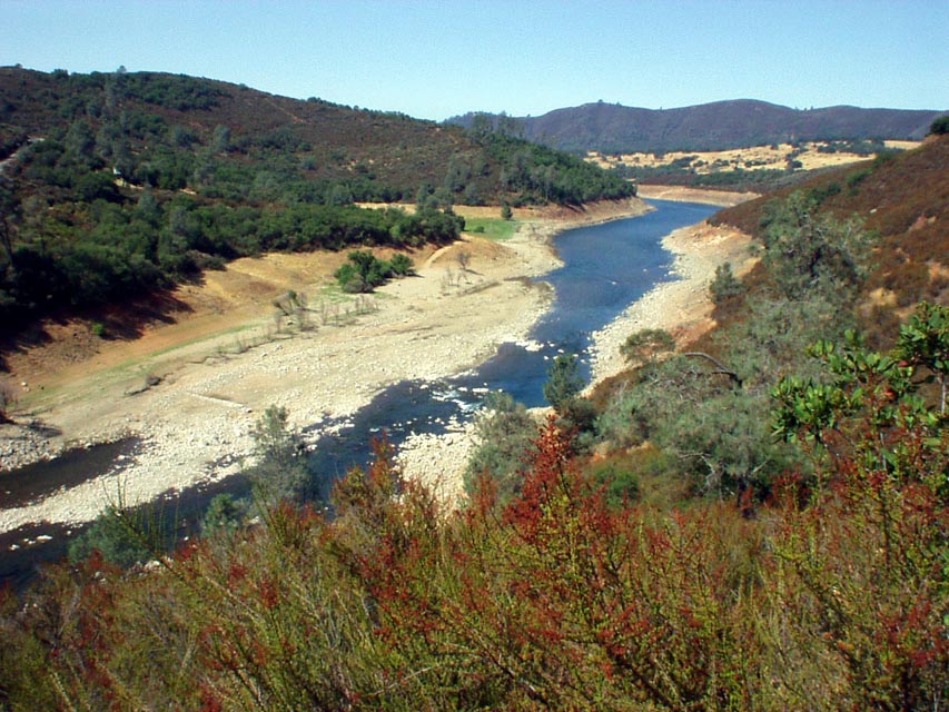 |
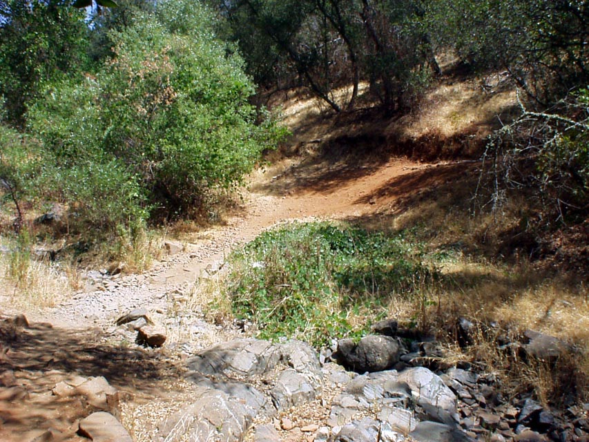 |
Here's one of the tricky climbs after a river bed, it doesn't look difficult I agree, but this is one of two climbs that are tricky enough that I can usually make it up one of them, but almost never both of them in the same ride. It's a matter of being in the right gear, having the right balance, and the correct weight on the wheels so you don't wheelie or spin out, also you need to navigate around the corner over some loose sand and rocks. Frankly it's tricky enough in the summer, let alone the winter when you've just been through the river and the mud is now wet too. |
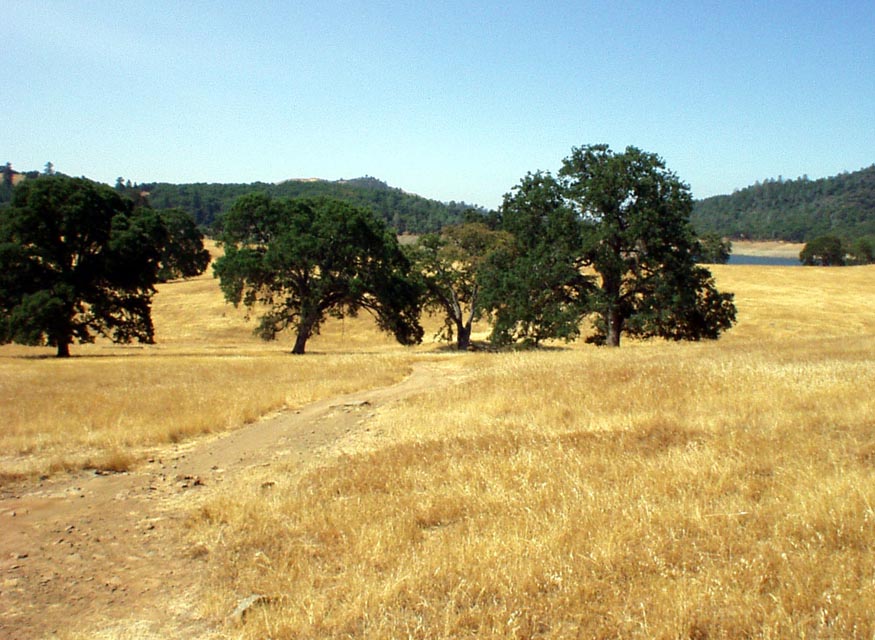 |
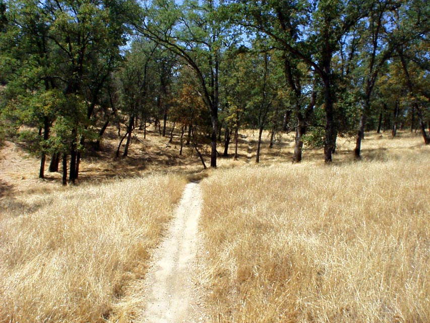
After a mile it goes away from the edge of the river, still single track, but riding through a wooded area. About half mile later you follow a fire route for a fast half mile of riding along the river edge. Then it returns to sandy single track, again through some trees. After gaining a little height you're riding through the meadow at about 3.3 miles, which is shown below. |
| At about the 3.5 mile mark you start climbing gently up hill for quite a while, until you reach the top of "Death Hill" at 4.0 miles, affectionately named for the difficulty of getting back up it. Not because it's technical in any sense of the word, but simply because it's quite steep and many end up walking back for the return journey. Depending on the time of year, the river at the bottom might be 20ft wide, or bone dry. Here's a picture for the return journey. |  |
 |
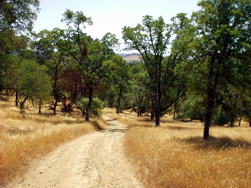
At about 6 miles you enter the largest meadows on the Salmon
Falls trail, you might see deer, rabbit, coyote, but mostly beautiful
meadows of green grass and purple wild flowers, or yellow grass depending
on the time of year. The wonderful single track winds through this in a
relatively flat and fast manner.
|
| Views of a cove in the river, that's almost dried up fully, this summer, 2001, is the lowest I've ever seen the lake in the 5 years I've been in Folsom |
| Yet more wonderful single track through the trees and the golden fields at about 7 miles into the trail. |  |
 |
This is the downhill on the return journey at about 8 miles into the trail. Beyond this, at about 9.5 miles is the campground, where there's water if you want it for the return journey. |
© Roland Wooster, 2007. All rights reserved.